Points of Interest
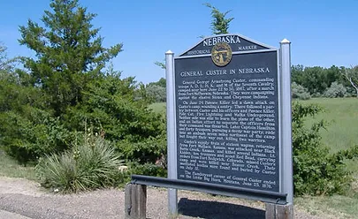
General Custer in Nebraska State Historical
Marker, located near the viaduct south of Benkelman on Highway 34, marks the area where Gen. George Armstrong Custer commanding six companies of the 7th Cavalry camped June 22 to 30, 1867. As dawn broke June 24, Custer’s camp was attacked by a band of Sioux Indians, led by Pawnee Killer. The raiders wounded a sentry, parlayed with Custer and his officers, and rode away.
The Texas Trail Canyon State Historical Marker
Located five miles east of Haigler, marks the canyon which served as a checkpoint for cattle which passed through this area as part of the cattle drives from Texas to Ogallala, Nebraska, in the late 1880s. It is said that 150,000 cattle were moved through here in 1886, the last year of the trail drives.
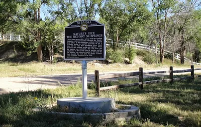
Nature’s Gift: The Highway 34 Springs
Since times unrecorded, springs from the Ogallala Formation relieved travelers through the Republican Valley. In 1930 Benkelman citizens improved a nearby spring to benefit motorists on NE 3 (later US 34). The 1935 Republican River flood destroyed the original spring and highway. When the highway was relocated, this rest area was established in 1941 at the site of another spring. The highway was relocated again in 1970 and the state deeded the rest area to Dundy County. Local residents restored it in 2008.
More information can be found at :

General Custer Historical Marker

The Highway 34 Springs


